
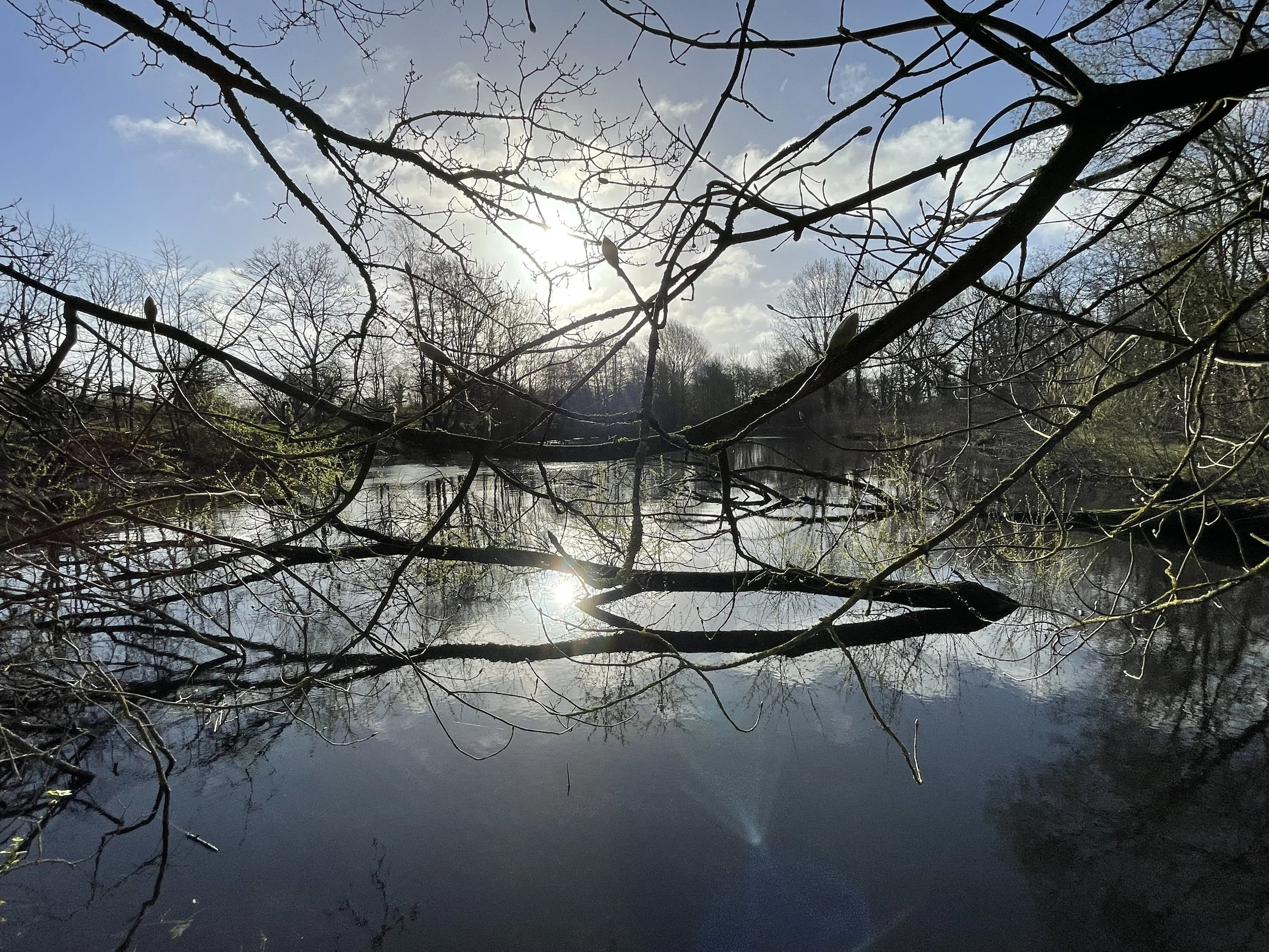
Hoe Reservoir Lake - Surveying
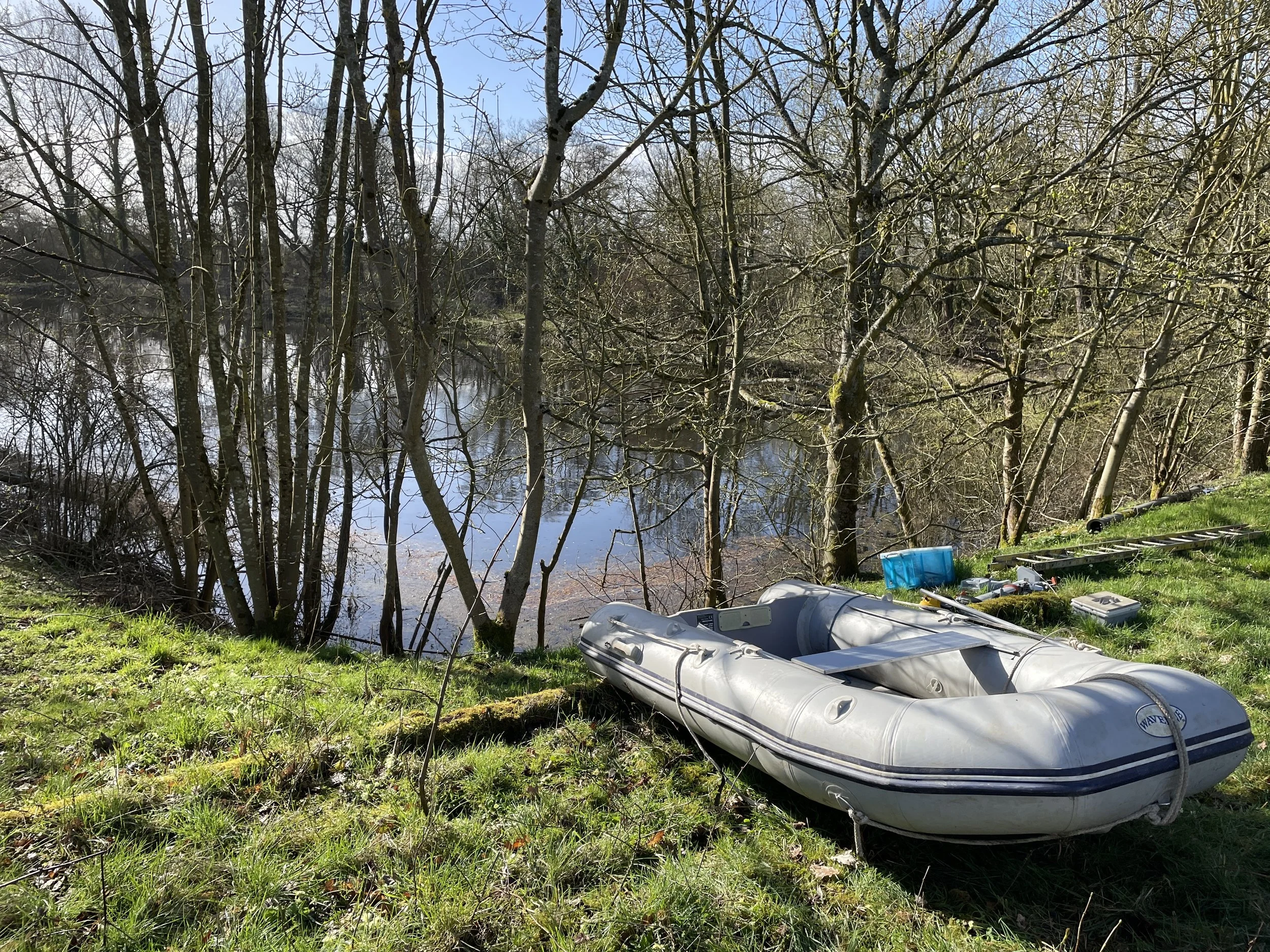
Exo’s Waveline Dinghy, Hoe Reservoir Lake
In March this year, Exo Environmental Ltd were appointed by the Water Management Alliance (WMA) to carry out a Hydrological study of an irrigation reservoir lake in Hoe, Norfolk. The study involved sediment and water quality sampling and analysis as well as a dual frequency single-beam bathymetric survey.
The purpose of the study was to determine the water depths, silt volume and general health of the water and sediment.
To collect the sediment samples and conduct the single beam bathymetry survey, we launched our Waveline Exo Dinghy with electric Torqeedo outboard engine, allowing for an easy, quiet, and low carbon deployment and survey.
After inflating the dinghy, the first part of the survey involved the collection of 2 sediment samples, taken at either end of the reservoir. Samples were collected using a Van Veen Grab, which was lowered over the side to collect a 1.67L volume sample.
Using the appropriate sampling bottles this sediment was decanted into the receptacles and sent off to a UKAS accredited laboratory for a sediment soil analysis suite, testing for Polyaromatic Hydrocarbons (PAH’s), inorganic minerals (such as Phosphate and Nitrate) and Biochemical Oxygen Demand amongst other parameters.
As well as sediment samples, 3 water samples were also collected from pre-determined points, outlined by the client. Wearing waders and PFD’S these samples were collected from roughly knee-deep water to avoid sediment contamination in the sample. Again, these samples were collected in the appropriate receptacles and sent off to the same laboratory as the sediment, for a water analysis suite.
To determine the water depth and degree of siltation in the reservoir, we mobilised our Teledyne Reson Echotrac 2178 dual frequency transducer, on our bespoke mounting frame. This system mounted onto our dinghy allows us to mobilise and survey in areas with poor access and in water bodies with low water depths and narrow channels. As this system is a single beam transducer it requires the operator to drive multiple passes over the lake surface to achieve a dense and interconnected coverage of survey lines to allow for accurate interpolation of the data. Once the data was processed, maps detailing water depths and silt volumes were produced.
With smooth mobilisation and efficient use of time we finished all aspects of the survey within one day. After completing the survey, a final report was collated for the client explaining the results from the laboratory and the single-beam survey. This report will help the client determine the health of the reservoir and any necessary management needed.
If you’d like to find out more about our services or are interested in any mentioned above, please contact us using our enquiries email enquiries@exo-env.co.uk or visit our website. You can also follow us on our social media.