
Peatland Surveys, the Humberhead Levels - Part 4
Considered a national character area, the Humberhead Levels are comprised of a vast area of 2000km2 of low-lying land that stretches between Lincolnshire, Nottinghamshire, South Yorkshire and the East Riding of Yorkshire. Its low elevation was caused by the immense pressure of the Glacial Lake Humber, which covered this area during the last ice age around 11,000 years ago.
This ancient waterbody created the perfect conditions for the creation and preservation of peat. Though unfortunately a large portion of this peat has been negatively impacted due to human activities, the sheer quantity of peat present has meant that much still persists hidden underneath the fields and fens of the Levels.

Large wood chunks present within the peat
Since peat is an important store of carbon, the quantity and quality can be assessed to inform decisions about rewetting to prevent further degradation. Yorkshire Wildlife Trust (YWT) contacted Exo Environmental to carry out peatland surveys across a number of sites in March.
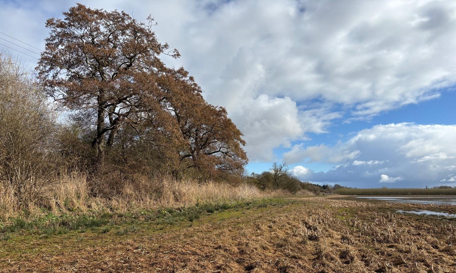
This particular survey was focused on areas close to sites that we have previously surveyed on behalf of YWT; adjacent to Hatfield Moors and along the Idle Washlands floodplain. After receiving the site boundaries from YWT, we determined sampling locations across the sites. These sampling locations totalled up to 232, which we determined would take the team 6 days to complete.
Despite the intermittent weather of early spring, our team still managed to complete the coring ahead of schedule. This was helped in part by the methodology we followed on this particular survey, coring only to 60cm if no peat was present, and making use of a peat probe if peat continued beyond a metre deep. We covered a range of different sites with varying habitats, from energy sapping marshland to easy open fields, with some quite uneven farm tracks to bounce down and a network of dykes to skirt around!
A range of different types of peat were found across the various sites. Using the Von Post scale to classify it by level of decomposition, some areas simply contained small amounts of H10 peat, which is the most decomposed and thus lowest grade. However, many cores uncovered peat of a much better quality, with one containing the highest grade possible, H1. This meant that the peat was so well preserved that it was effectively still just large chunks of alder wood that is likely thousands of years old.
Upon returning to Norfolk, all of the data we gathered was processed and complied into a final report, ready to be sent back to YWT so that they can interpret it and make the next steps as they see fit.
If you would like to find out more the peatland and soil surveys we offer, please get in touch.