
Bathymetry & Hydrology Surveys
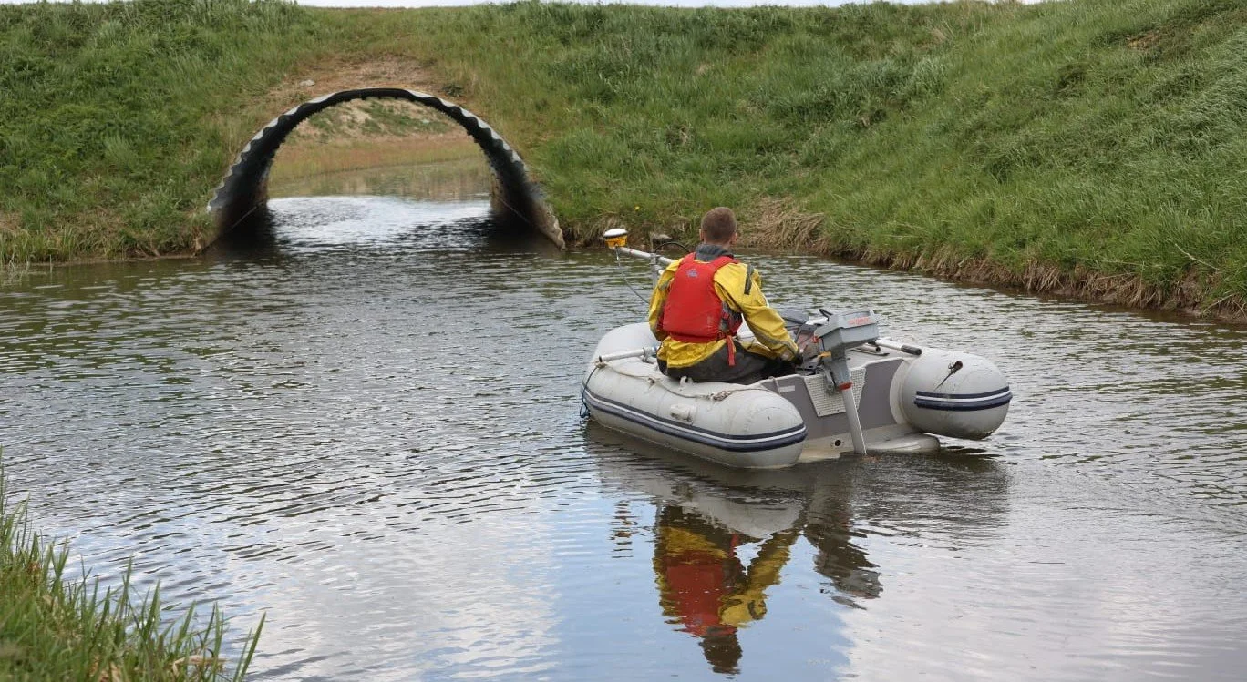
With extensive experience surveying water bodies large and small, Exo have developed a wealth of knowledge in collecting and processing bathymetric and hydrologic data. Whichever characteristic you wish to learn more about, we can help.
The hydrology surveys we offer include:
Nutrient levels
Heavy metals
Dissolved oxygen
Flow & level monitoring
Turbidity
The bathymetry surveys we offer include:
Multibeam bathymetry
Single beam bathymetry
Photogrammetry surveys
Hydrographic surveys
Oceanographic surveys
We use state-of-the-art equipment in the field to collect data, which, dependant on your needs, can either be supplied in raw form or analysed and processed in GIS maps as well as other useful media. All of this ensures a straightforward interpretation process using highly accurate data so that we can provide optimal results for our clients.
If you also need support with licensing and permitting requirements, please click here to find out more.
Case Studies
-
From May 2024 to September 2025, Exo were contracted by the Eastern Inshore Fisheries and Conservation Authority (EIFCA) to carry out a series of multibeam bathymetry surveys in the Cromer Shoal Chalk Bed Marine Conservation Zone (MCZ). These surveys formed part of EIFCA’s wider investigation into anthropogenic impacts on the MCZ and development of potential mitigation strategies.
These surveys were carried out from EIFCA’s vessel, FPV Sebastian Terelinck, and utilised a Norbit IWBMS multibeam system for these surveys. This system is a high-end sonar with globally leading GNSS/Inertial Navigation System (Applanix WaveMaster II) embedded into the unit which ensures fast and reliable mobilization and highest quality soundings for most conditions and exceeds IHO Special Order, CHS Exclusive Order & USACE New Work.
Each survey collected both raw bathymetric data of the target sites and also backscatter data, taking approximately 3 hours to complete. Once back on shore, the data was processed by our in-house hydrographic surveyors and sent in multiple formats to EIFCA to help inform them of any changes occurring to the survey sites.
-
As part of the Brightlingsea Dredging and Restoration project, Exo conducted dual-frequency bathymetric and unmanned aerial vehicle (UAV) photogrammetric surveys throughout the site, during high and low water spring tides respectively. The high-resolution datasets were then merged across the overlapping intertidal zone (with an approximate tidal range of 5m) using specialist software to provide a comprehensive map of levels throughout the creek.
Applying the client’s requested target depths for each dredge area, accurate dredge volumes were calculated and used to match with the storage volumes of restoration sites selected following the comparison of historic and current saltmarsh extents. In addition to project design, the data obtained also supported project planning through the identification of priority areas, provided baseline data for continued environmental monitoring and assisted in the formulation of a long-term management plan for the Brightlingsea Harbour Authority.
The combination of these survey techniques provided excellent data coverage for logistically challenging sites located at the land-water interface such as the intertidal zone.
-
In January 2025, Exo Environmental were approached by BAM Nuttall Ltd to conduct a multibeam bathymetry survey on the North Norfolk Coast for this purpose. BAM Nuttall Ltd are currently replacing 26 degraded wooden and sheet piled groynes with new rock groynes between Happisburgh and Winterton. Before they could proceed, they needed to ensure that the seabed was free of obstacles. This was because the rocks which make up the rock groynes had to be deposited at specific locations close to the shore using a barge so they could be accessed by land vehicles at low tide and subsequently installed.
To ensure navigational safety, 6 sites between Eccles-on-Sea and Waxham were surveyed using the Norbit IWBMS 400khz sonar head system and the Valeport Swift sound velocity profiler. The team set off from Sea Palling, collaborating with a local fisherman from the village to combine cost-effectiveness and efficiency through the use of his local knowledge.
An area spanning between the near shoreline and up to 200m out to sea was covered, with our survey concentrating particularly on mapping the rock deposit sites and checking to see if any had been spilt in the process. Once back on shore, the data was processed by our in-house hydrographic surveyors and sent to BAM Nuttal to help inform the next steps for their project.
