
Peatland Surveys - The Humberhead Levels | Part 5
Peat
Earlier this year Exo continued our collaboration with the Yorkshire Wildlife Trusts Wilder Humber Project, which aims to restore functioning peatland in South Yorkshire and North Lincolnshire.
In this latest edition we surveyed an area of farmland adjacent to Hatfield Moor, an area of raised lowland peat bog. These types of peatland environment are extremely rare in England with only a handful left. Differing from blanket bog, lowland raised peat bog have their origins in glaciogenic processes. Following the last ice age large periglacial lakes formed deep depressions and hollows in the landscape, over time the marginal lacustrine vegetation infilled the hollow and over time formed a dome of peat. This dome becomes higher than the surrounding land creating a unique, isolated environment dominated by nutrient poor and acidic vegetation.
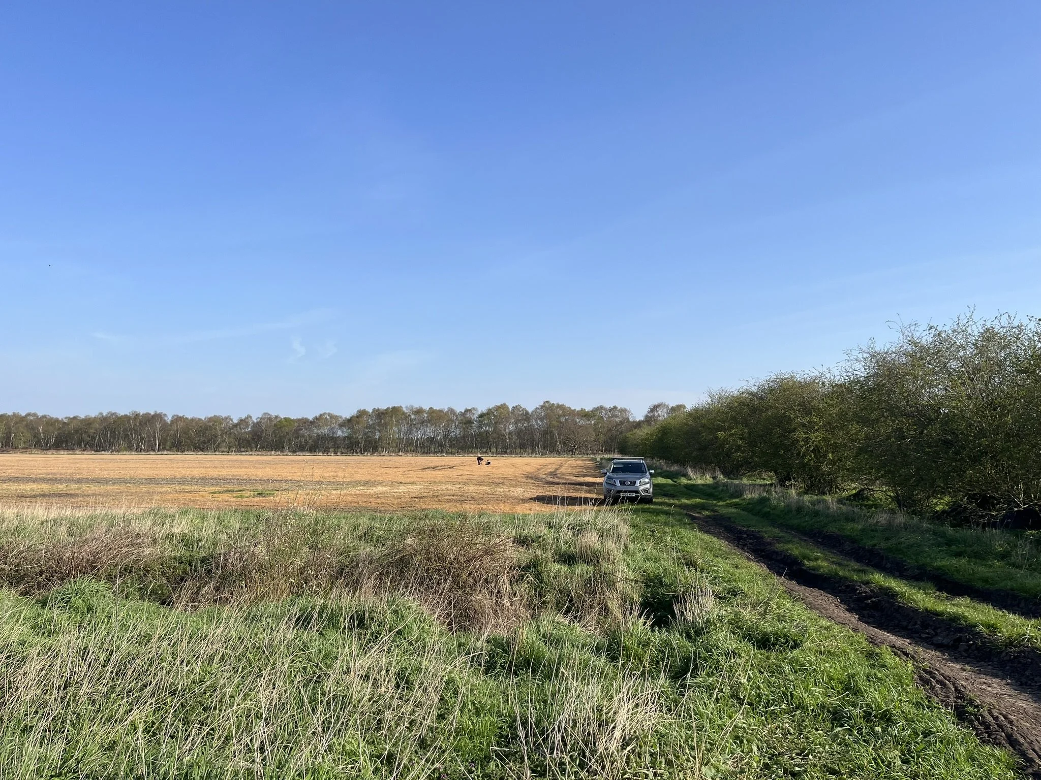
As an extension to the Hatfield moors, this adjacent agricultural land could be key in extending peatland forming conditions and linking up large scale habitat restoration efforts underway at Hatfield moors.
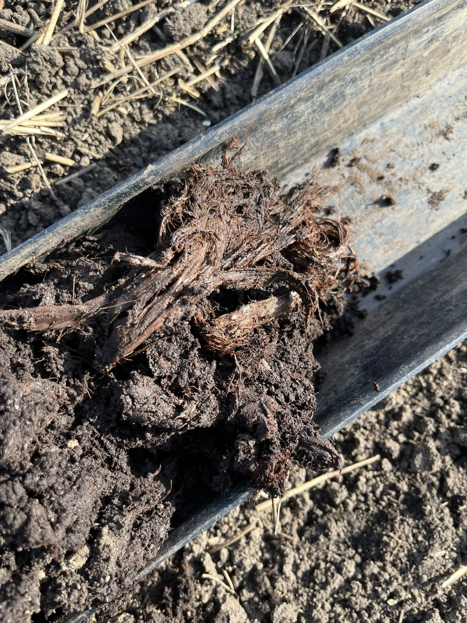
Over the course of 4 days Exo surveyed over 150ha of agricultural land recording peat presence, depth, health and extent as well as recording mineral horizons and horizon interfaces.
Following the completion of the surveys the data was collated and mapped and sent to YWT to inform on next steps and possibilities for restoration.
If you require any peatland or soil surveys please don’t hesitate to get in touch and make sure to give our socials a follow!